
Pilot6 | EO-based surveillance of POPs pollution
Pilot 6.4 | ReSAgri - Resilient & Sustainable ecosystems including Agriculture & food
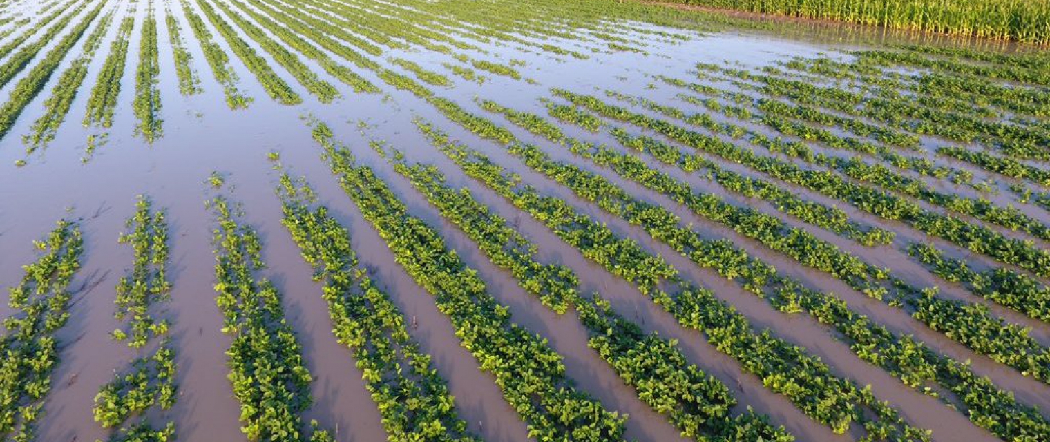
Natural hazards such as droughts, flash floods, and natural disasters have a dominant role in natural ecosystems, agriculture and hence food, resiliency and sustainability. This pilot is being composed by 3 main pillars: i) Gathering and processing of raw EO and meteo data, integrating with multiple other data sources (in-situ, modeled); ii) Risk disaster modelling derived by NOA (risk assessment on various phenomena droughts, heatwaves, gale winds, hailstorms), atmospheric modelling, flash flooding targeting on timely and accurate information (e.g. warning, alerting), and timely delivery to relevant stakeholders (e.g. farmers, agriculture cooperatives); & iii) Crop type and natural ecosystems mapping leveraging on EO research capacities (TRL 5) relying on machine learning methods in the agriculture domain (e.g. vegetation indices, crop identification etc.), fused with meteo data and coupled with disaster assessments and forecasts, aiming to provide vital thematic information to support the involved user communities (e.g. agriculture agencies, farmers, farming cooperatives) and decision making for the benefit of the agriculture sector and food security. In this pilot, an effective combination of climatological, earth observational, in-situ and state-of-the-art numerical weather prediction data in high resolution is attempted, towards a more sophisticated monitoring of precision agricultural needs.
/ Objectives
- Assist the ecosystem resilience and food production process,
- Economic value both from contributing to optimal food production and to new businesses (e.g. agriculture insurance business),
- Generate beyond the state-of-the-art algorithms, models and downstream products in Earth System Science,
- Strengthen EO capacity and contribute to Copernicus user uptake through agriculture cooperatives and farmers,
- Contribute to ecosystem protection and food security challenge.
/ Partners
NOA, Neuropublic
/ Key Users
Interamerican SA
GAIA EPICHEIREIN GR Association of farmers
Numerous Farmers Cooperatives
GRNET
/ Key Datasets
Earth Observation datasets:
Raw Sentinel data (S1-S2-S3), EO derived parameters/indices (e.g. NDVI, PSRI, SAVI, fAPAR, LAI, fCover, NBR – Normalized Burn Ratio, Relative growth rate – RGR,Crop Water Stress Index etc.). Also, CHIRPS v2. Satellite Precipitation estimates.
In-situ datasets such as:
Atmospheric, soil and leaf measurements (soil temperature, humidity (multi-depth), ambient temperature, relative humidity, barometric pressure, solar radiation, leaf wetness, rainfall volume, wind speed and direction) recorder in continuous mode by the in-situ network of the co-designed GAIA EPICHEIRIN.
Numerical Weather Prediction datasets/Services: ECMWF’s ERA5-land and ERA5 reanalysis datasets as well as atmospheric and soil outputs from BEYOND/NOA in-house operational high-resolution WRF configuration (2-km) over Greece.
Historical damage records over Rodopi provided from the Greek Agricultural Insurance Organization
/ ID Card
The final product is an integrated online service (www.resagri.eu) that combines the historical risk mapping over a region (Rodopi) and crop type (cotton), a quick Damage Assessment tool, a High Level Monitoring tool and an Early Warning based on the high resolution Numerical Weather Prediction model. Additional areas and crop types are expected to be added.


Stay in the loop !


Acknowledgment
The e-shape project has received funding from the European Union’s Horizon 2020 research and innovation programme under grant agreement 820852