Pilot6 | EO-based surveillance of POPs pollution
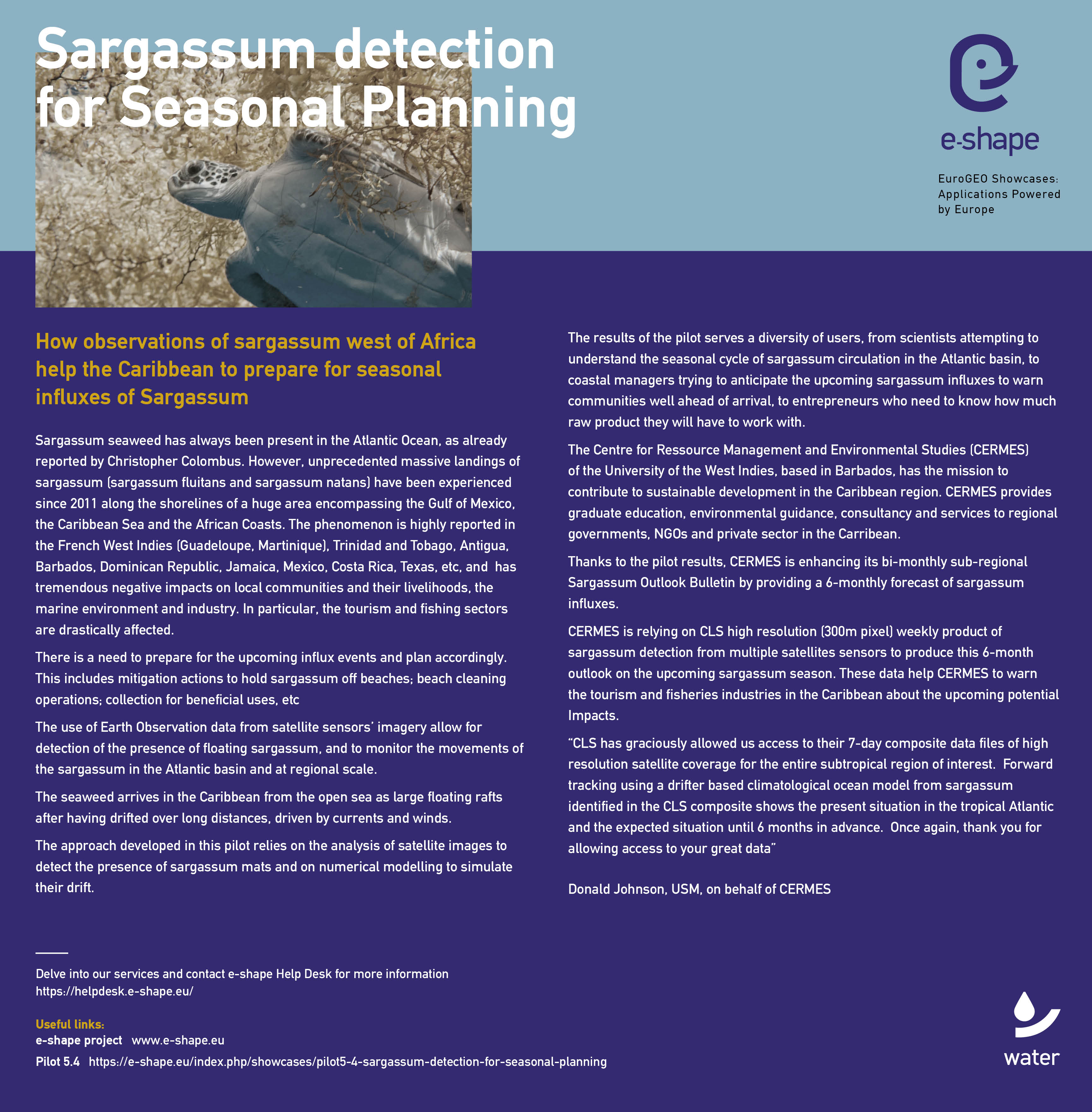
Pilot 5.4 | Sargassum detection for seasonal planning

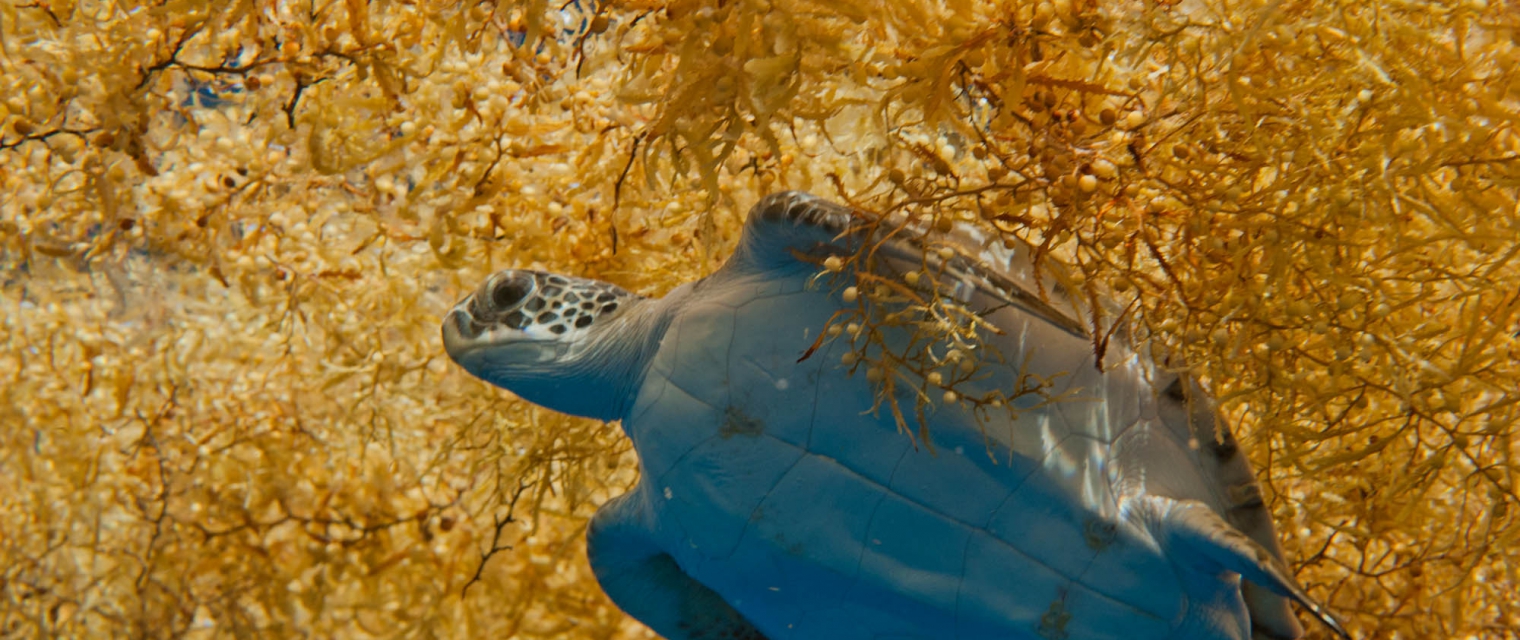
Unprecedented massive landings of sargassum have been observed since 2011 along the shorelines of a huge area encompassing the Gulf of Mexico and the Caribbean Sea. The phenomenon is highly reported in West Indies (Guadeloupe, Martinique, Barbados ...), Dominican Republic, Mexico, Costa Rica, Texas, etc. Algae arrive from the open sea as large rafts (tenths of km) after having drifted over long distances, probably from Brazil or the Gulf of Guinea.
This issue has tremendous negative impacts over local communities, marine environment and industry. In particular, the tourism and fishing sectors and drastically affected.
/ Objectives
- to use a synergy of satellite sensors, combining wide swath (MODIS), high-resolution (Landsat-8, Sentinel-2, Sentinel-3), and unaffected by cloud-cover (Sentinel-1) for optimized detection & sargassum identification at their earliest stage.
- compute long-term drift simulation using climatogical data to allow to predict, several months in advance, the landing areas and severity of the sargassum season in the Caribbean Islands.
- Provide long-term seasonal prediction in bulletins tailored to the key users needs
- To raise awareness on the sargassum season to help the key users to prepare the mitigation in advance for a better management of the sargassum landings and to efficiently plan the sargassum cleaning and gathering efforts…
/ Partners
CLS
/ Key Users
Local authorities, and private companies willing to anticipate the "sargassum" season several months in advance (Insurance companies, tourism, algae valorisation). Key users would be represented by regional entities in the Caribbean (CERMES)
/ Key Datasets
2 types of input data are used in this pilot. Satellite data from the Sentinel Ground Segment and NASA, and environmental data coming from CMEMS, NOAA and CLS Datastore. Satellite data: (W) MODIS Aqua, targeted resolution 250m, covering the Central Atlantic Ocean & Caribbean; (W) Sentinel-1, resolution 80m, covering from Amazon river mouth to the Caribbean; (W) Sentinel-2, resolution 20m, covering Amazon river mouth and Caribbean Islands coasts; (W) Sentinel-3, resolution 300m, covering from Amazon river mouth to the Caribbean. Environmental data for long-term drift simulation of sargassum: (W) Multi obs surface current from satellite averaged over 30 years of data(CMEMS & CLS); (S) Bathymetry and coastlines
/ ID Card
The pilot will be a service for the end-user support decision making on sargassum seasonal planning and spread awareness on the sargassum influxes in the Atlantic by providing:
- A one-year time series of sargassum detection on the whole Atlantic basin
- Seasonal forecasts of sargassum drift
Stay in the loop !
Acknowledgment
The e-shape project has received funding from the European Union’s Horizon 2020 research and innovation programme under grant agreement 820852


