Pilot6 | EO-based surveillance of POPs pollution
Pilot 2.3 | EO-based pollution-health risks profiling in the urban environment

According to UN's “World Urbanization Prospects: 2018 Revision” the urban population has reached 55% and is projected to increase to 66%. Moreover, according to the latest World Health Organization (WHO, 2016) Ambient Air Pollution Global Assessment, only one person in ten lives in a city that complies with the WHO Air Quality (AQ) guidelines. In this context, open access to high quality AQ information to stakeholders in a timely and comprehensible manner to foster informed decision making is imperative. In the frame of the ‘Health Surveillance Air Quality’ Pilot (HSAQ), Earth observations for AQ (e.g. in situ monitoring stations, satellite retrievals, atmospheric numerical models, citizen observatories) are fused with population and health data towards tailored, added value products that support public air quality and health assessments, informed decision making as well as urban planning. In particular:
- An Aggregated Risk Index for pollution impacts on health is calculated, based on satellite data, for several megacities of the UNESCO list.
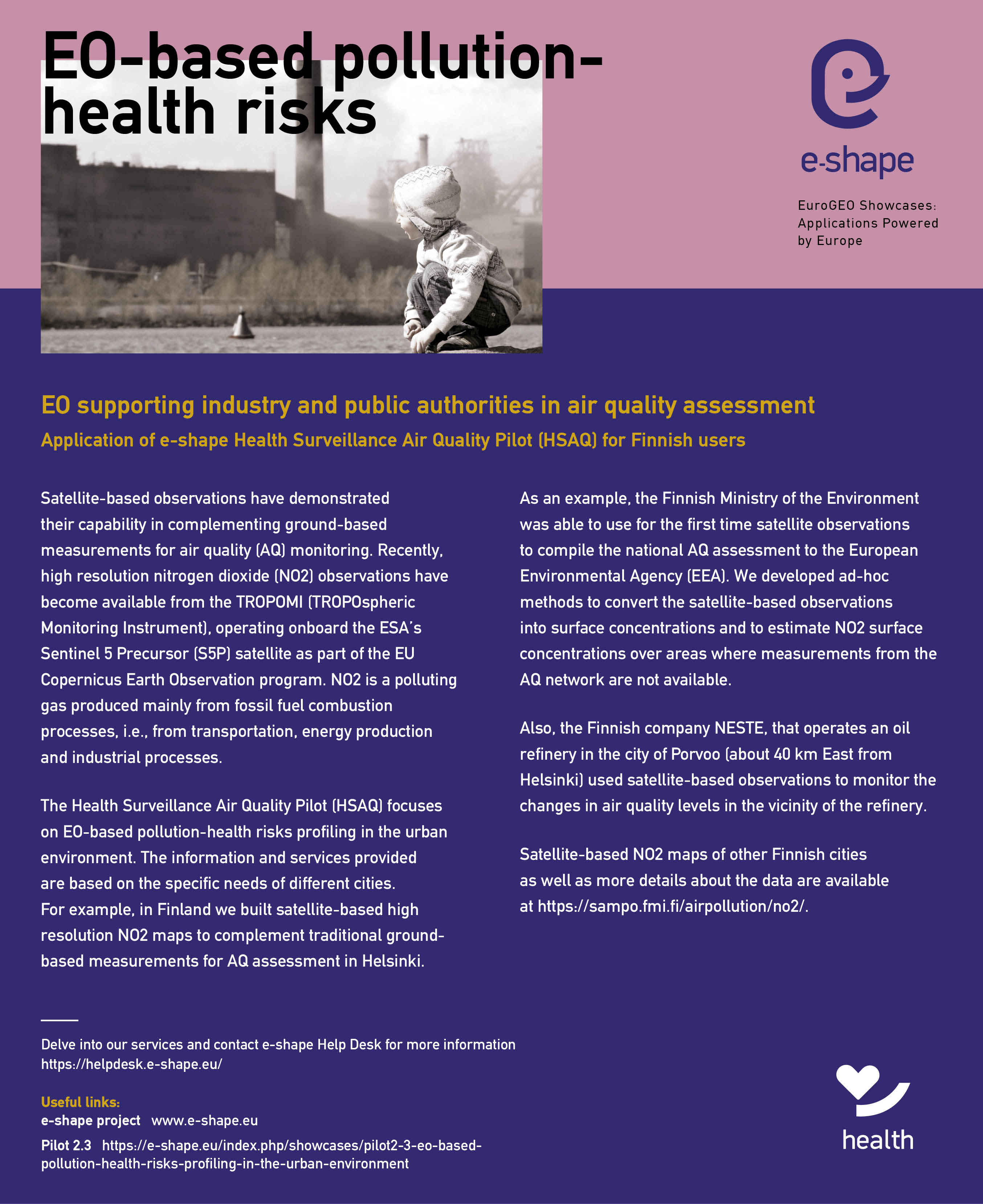
- Satellite-based observations are converted into NO2 surface concentrations to support for the first time the national AQ assessment of Finland delivered to the European Environmental Agency (EEA).
- Health risk due to exposure to air pollutant mixture (PM2.5, PM10, NO2, O3, SO2) is assessed for Munich (at the zip postal level) and other megacities of the globe, through the exploitation of the World Settlement Footprint.
- High resolution, population weighted PM2.5 concentration levels are assessed for the city of Bari, following the definition of the UN SDG 11.6.2.
- Dynamic mapping of population exposure to air pollution is estimated, with emphasis on the exposure above the newly published (late 2021) WHO air quality guidelines for NO2 and PM2.5, in Athens.
/ Objectives
- To improve AQ-health information, from air pollution data and land use/health/socio-economic features of cities, for use in public health assessment and urban planning.
- To evaluate and exploit citizen science data towards their integration with the official measurements.
- To strengthen decision making by allowing for pollution mitigation scenarios and provision of alerts.
- To raise awareness on AQ implications on public health, enhancing the citizen participation.
/ Partners
NOA, DLR, FMI, CNR, IIASA, DRAXIS
/ Key Users
Region of Attica (GR), City of Athens (GR), Ministry of Environment and Energy (GR), Health National Public Organization (GR), Ministry of Health (GR), Sustainable City Network (assoc. of 74 municipalities) (GR), Hellenic Statistical Authority (GR), HSY (Environmental Services Authority) (FI), City of Helsinki (FI), City of Porvoo (FI), Ministry of the Environment (FI), NESTE Oy (FI), Bavarian State Ministry of the Environment and Consumer Protection (DE), Bavarian State Ministry of Health and Care (DE), Municipal Authorities of Bari and Modugno (IT), World Bank.
/ Key Datasets
EO and Copernicus Services: NO2 Sentintel-5P, GHSL distribution of population, World Settlement Footprint, CAMS regional and global re-analysis products for AQ, European anthropogenic emission database CAMS-REG, ERA5 meteorological data at ECMWF,
In-situ, citizen observatories: E-PRTR database of stationary emission sources, national regulatory monitoring networks of AQ (Greece, Finland, Germany), National RI PANACEA network of sensors (https://air-quality.gr/)
Numerical modeling datasets/services: POLYPHEMUS model product, GEOS-CHEM global AQ model predictions, EPISODE-CityChem CTM outputs
/ ID Card
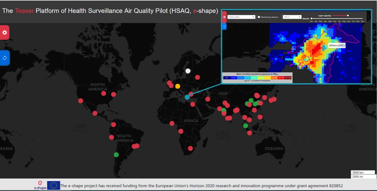
Our final product is the TEASER platform of HSAQ – a *marketplace of services* showcasing the different EO driven products that enable several users to perform air quality-health assessments, with tailored components for Helsinki, Munich, Athens, Bari and around 40 urban areas of the world (UNESCO list of megacities). It is an online service with global and unique city components utilizing a variety of existing EO capacities in conjunction with health and socioeconomic data for health surveillance purposes. The service addresses global, city and municipality scales and further, bridges past (trends), present (analysis) and potentially future (air quality scenarios), to provide a reference space for users and stakeholders to gain thorough insight into urban air quality.
The platform has the capacity to incorporate on demand more cities, adding different city layers to address city’s own unique health surveillance data and needs, while through the teaser, and for specific components, users are redirected to individual platforms and experience full access to databases and functionalities.
Stay in the loop !
Acknowledgment
The e-shape project has received funding from the European Union’s Horizon 2020 research and innovation programme under grant agreement 820852


