

Satellite-based applications in the maritime domain: hands-on the e-shape project
Satellite-based applications in the maritime domain: hands-on the e-shape project
Read the interesting article, from our pilot EO-based surveillance of mercury pollution, published in the United Academics Magazine.


e-shape’s S1P2 EU-CAP Support pilot, in collaboration with S6P4 ReSAgri pilot, support the member-farmers of ASOO with a cotton growth monitoring service that daily provides new maps that indicate the areas of optimal seeding conditions.
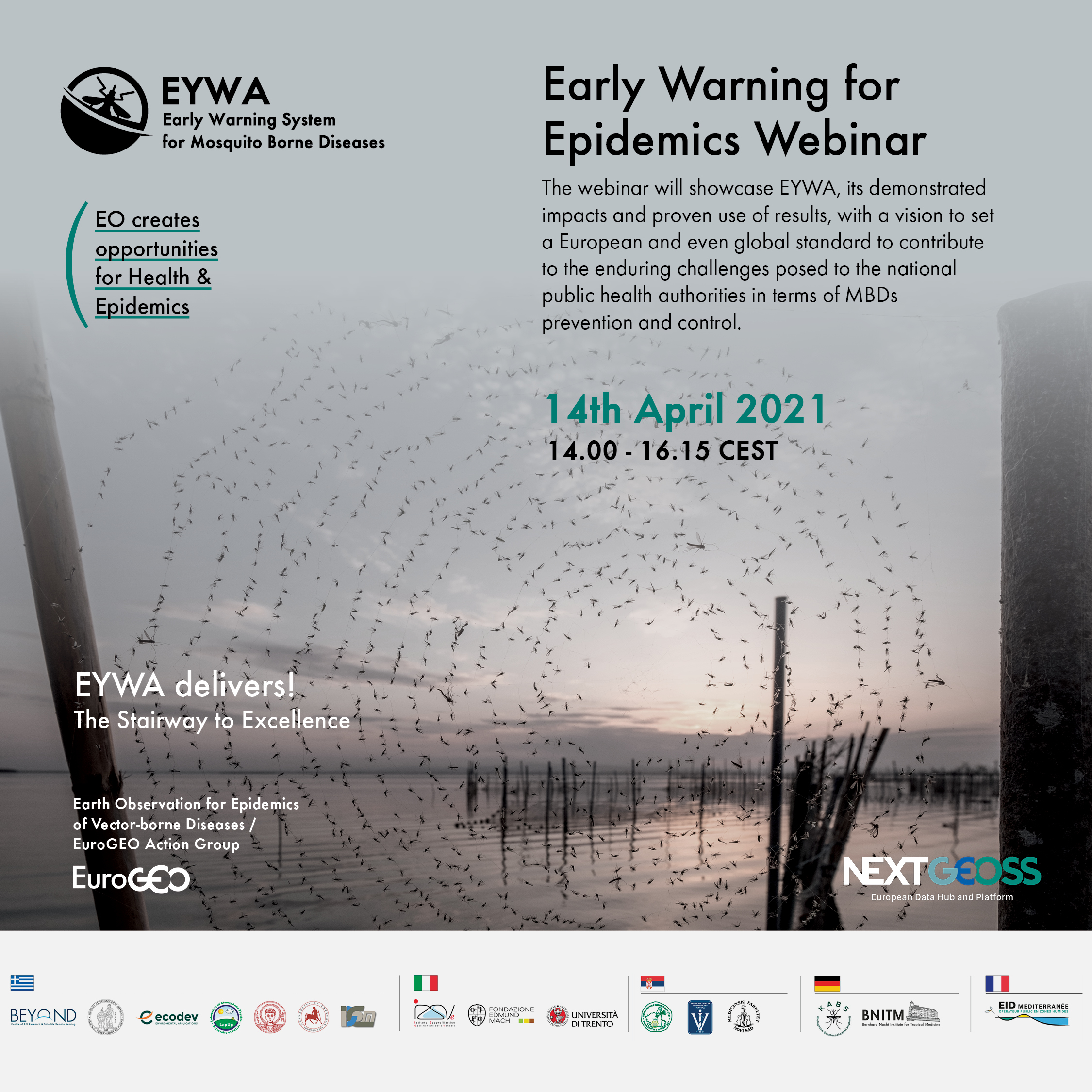
Webinar: Earth Observation based solution supporting disaster resilience: hands-on the e-shape user-centric approach

Our e-shape partner EARSC will participate in the EARSeL Joint Workshop 2021 EO for sustainable cities and communities | PLENARY 6: Sustainable Development Goals [4-6 pm CET].

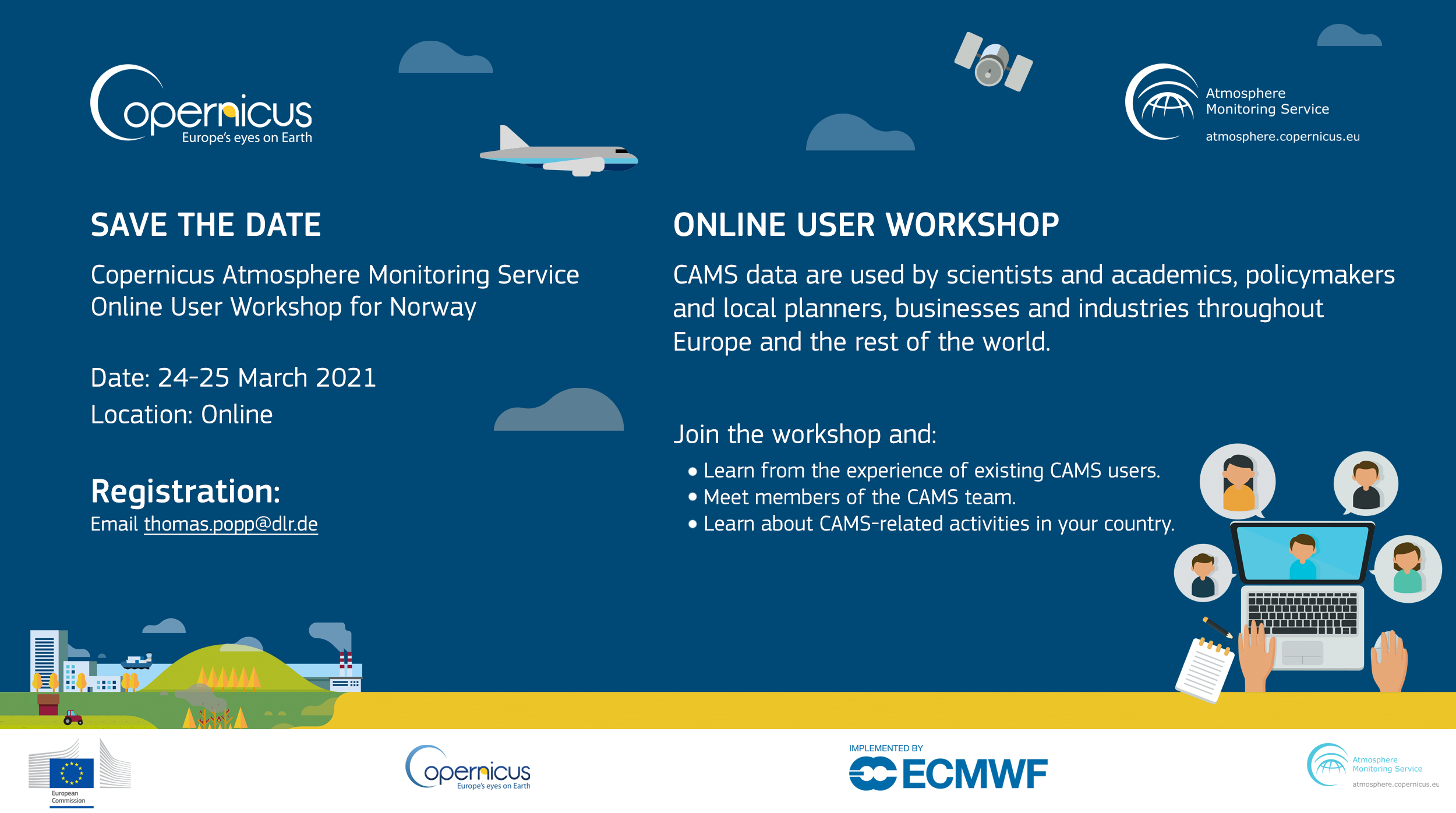
Our partners from ARMINES Lionel Menard and Philippe Blanc participated in the Copernicus Atmosphere Monitoring Service (CAMS) virtual workshop held on 25th of March 2021.
Our e-shape pilot Pilot 5.1 | Improved historical water availability & quality information service and our partners EARSC and Eurisy participated in the the WaterMarketEurope event on March 24th 2021.


Since February 2021, Etna is experiencing a numerous number of eruptions and emitting volcanic ash into atmosphere.


The e-shape project has received funding from the European Union’s Horizon 2020 research and innovation programme under grant agreement 820852